Wednesday March 18, 6.30 PM @ De Waag, Nieuwmarkt 4, Amsterdam. From the website:
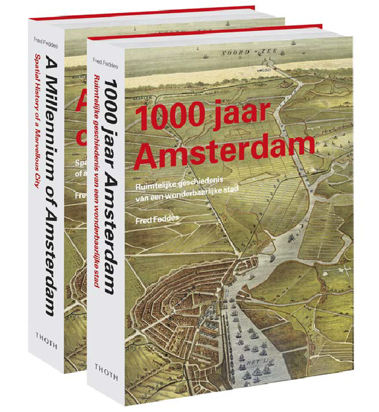
“The 5th edition will start with a talk from Fred Feddes, journalist and writer, who will talk about the history of Amsterdam, about urban planning, old maps, and about his book 1000 jaar Amsterdam / A Millennium of Amsterdam. Fred’s talk will be in Dutch, but he’ll show many maps and pictures for non-Dutch attendees to enjoy.
After Fred Feddes’ talk, we’ll start with a workshop on physical data visualization with OpenStreetMap data! We will use OSM data as a basis for objects/prints which we will create in Waag Society’s Fablab, using our laser cutter or vinyl cutter. I’ll provide a tutorial on how to extract geo-spatial data from the OpenStreetMap database and edit the data using Inkscape or Illustrator. Some examples and inspiration: http://dataphys.org/
Maptime is BYOB (and food). I will provide tea and coffee, but you’re welcome to bring your own beer or dinner to the Waag. The talk starts at 6:45 pm.
Maptime is, rather literally, time for mapmaking. Our mission is to open the doors of cartographic possibility to anyone interested by creating a time and space for collaborative learning, exploration, and map creation using mapping tools and technologies.
Maptime is hands-on, so don’t forget to bring your laptop! All skill levels are welcome.”